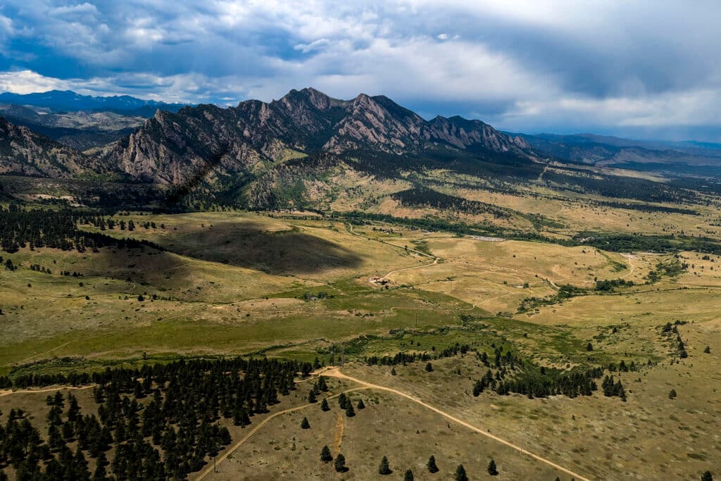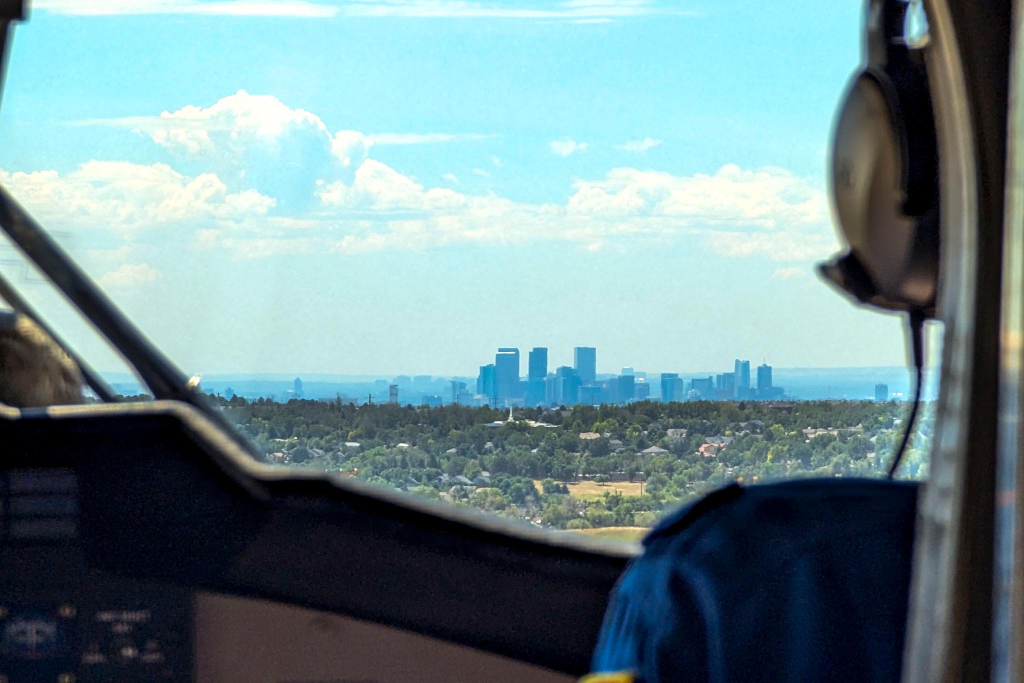
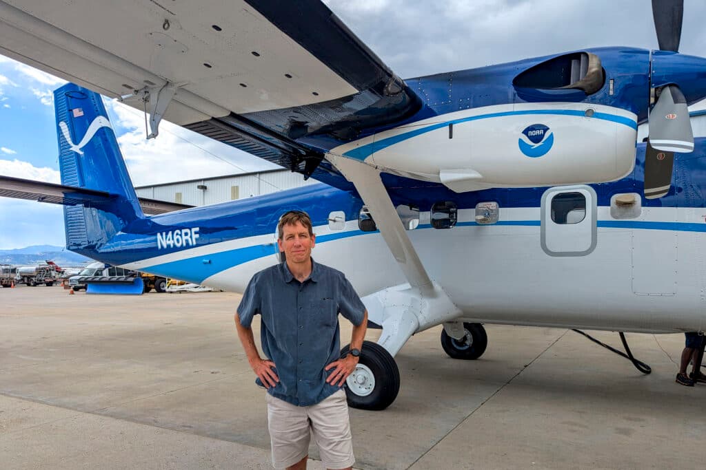
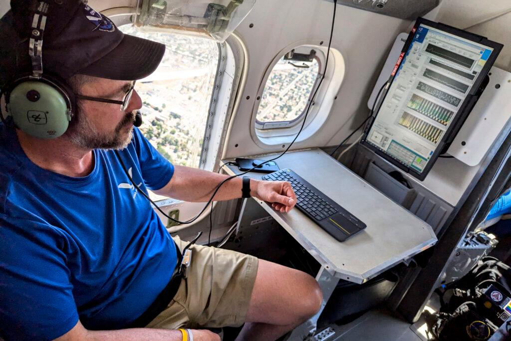
For a large part of the last two weeks, Steven Brown, an air quality chemist with the National Oceanic and Atmospheric Administration, has soared over Colorado’s Front Range in a slow-flying Twin Otter aircraft, tracing a path above major air pollution sources like highways and oil and gas facilities.
The flights are part of a new federal study designed to unravel a puzzle behind the region’s persistent ground-level ozone problem. Over the last 20 years, other major metro areas — such as Washington, D.C., and Kansas City — have seen a steady decrease in the well-studied lung irritant known to worsen lung conditions and shorten human lifespans.

While Brown says the downward trend is likely attributable to cleaner cars and power plants, those same improvements haven’t helped Colorado shake its toxic ozone problem. The U.S. Environmental Protection Agency downgraded the region and classified it a “severe” air quality violator in 2022 after its repeated failure to cut summertime ozone levels.
“Our ozone is not responding in the same way as other parts of the country. That’s somewhat of a mystery to us, and something we’d like to address with these kinds of research flights,” Brown said.
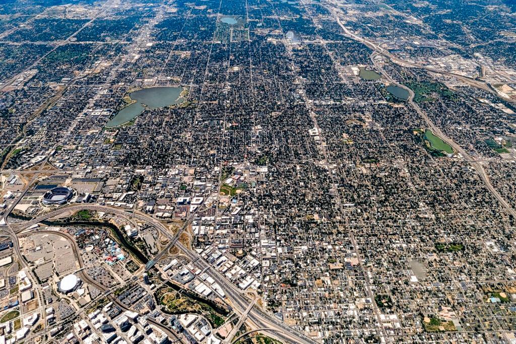
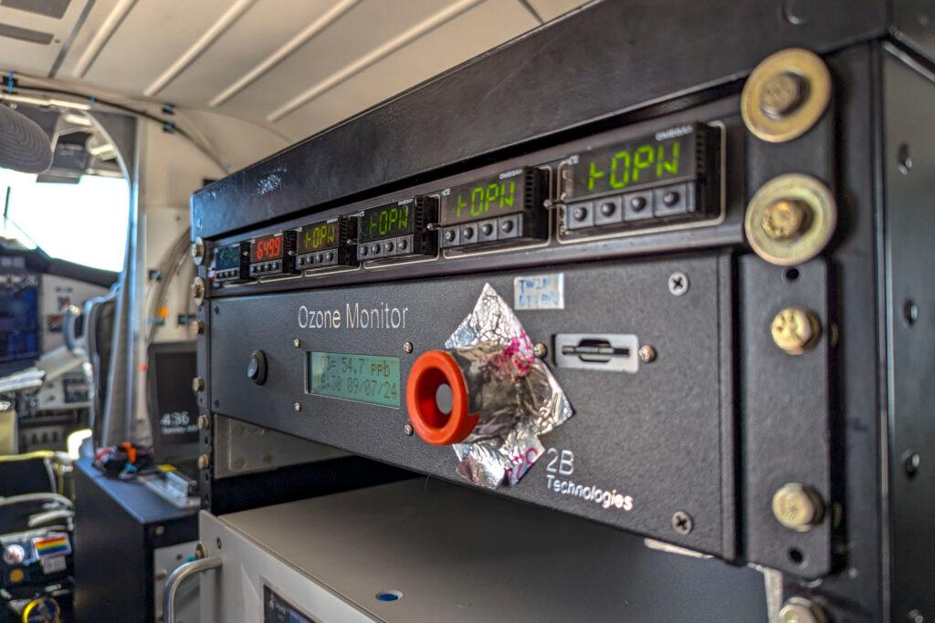
During a recent flight in the Twin Otter, scientists measured pollution rising from downtown Denver at different altitudes, then cut south to circle a massive cattle feedlot. An instrument tracked ozone at every point along the journey, showing levels steadily rising in the afternoon before an unexpected thunderstorm dispersed the pollutant.
That flight was a part of a far larger study that’s played out across the Front Range over the last two weeks. State and federal researchers are gathering air quality measurements from aircraft, ground stations and vehicles to investigate the source behind the region’s summertime ozone woes.
The goal is to link underlying pollutants to specific locations, providing information to guide air quality regulators trying to bring the region back into compliance with federal health standards.


The scientists have also enjoyed ideal conditions to study the persistent pollution problem. Ground-level ozone has surged across the Front Range this summer, and state air quality forecasters predict the issue will persist due to the ongoing heat wave.
Hot and dry conditions drive ozone formation by catalyzing a chemical reaction between combustion gases and hydrocarbons released by vehicles, oil and gas operations, power plants and lawn care equipment.
The pollution piles onto a base of “background” ozone from natural and out-of-state sources, which is how regional smog levels usually surpass federal health standards.

In other cases, pollution levels can spike due to what’s known as a “stratospheric intrusion,” when the ozone layer blocking ultraviolet radiation high in the atmosphere is suddenly forced to ground level.
It already appears the current summer could notch new records for ozone pollution. Official air quality monitors have repeatedly measured exceedances across the region over the last few. State forecasters have also issued 20 ozone action alerts by mid-July, nearing a pace set in 2021, the region’s worst ozone season on record.
An influx of wildfire smoke that year is one reason for the high ozone levels, according to a recent study co-authored by Brown and other air quality researchers. While smoke could return this summer, he said it has been relatively absent so far.
“We are seeing ozone exceedances that probably don't have very much to do with fires. That data will help us quantify what happens in the absence of that source, which will also help us quantify what happens when you do have wildfire influence,” Brown said.

The recent study follows a more extensive field campaign conducted in 2014. The results of the so-called FRAPPÉ study found traffic was the primary local contributor to ozone along the urban corridor stretching from Boulder to Denver’s south suburbs. Further north, the study found oil and gas operations were the largest contributor of ozone ingredients.
On days when the entire region exceeded federal health standards, it found those two emissions sources — traffic and fossil fuel operations — each account for about a third of the total local ozone production in the region.
Frank Flocke, a senior scientist at the National Center for Atmospheric Research, led the FRAPPÉ study and is glad another project is now further investigating leading ozone sources. Even though the research will involve fewer measurements over a shorter duration of time, he said it should help reveal why pollution levels across the metro area won’t drop, and confirm the accuracy of the state emission inventories.
“The more measurements we have, the better we can define the trends,” Flocke said. “This is great and it should be done annually.”
