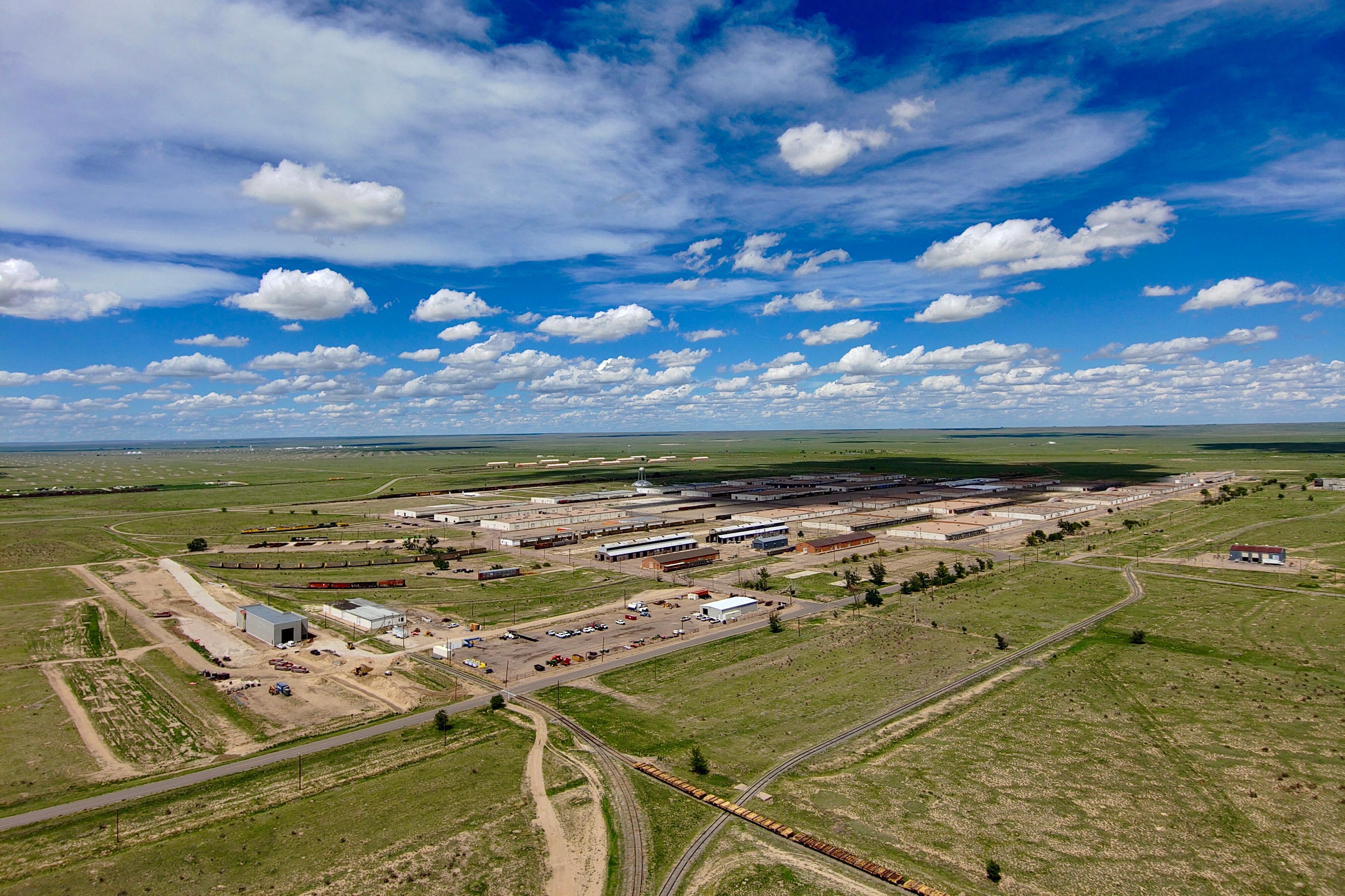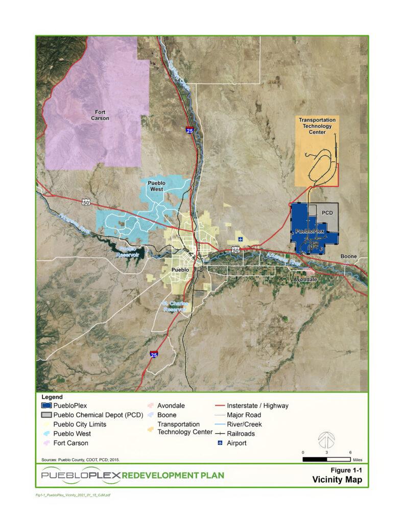
The first parcel of land at the U.S. Army Chemical Depot site in Pueblo County recently transferred from federal to local ownership.
More than 5,100 acres now belong to PuebloPlex, the agency charged with redeveloping the site that was used for chemical weapons storage and was more recently tasked with their destruction.
The depot was originally constructed in 1942 east of the City of Pueblo, and once employed around 8,000 people. Work to neutralize and destroy the chemical weapons stored there began more than two decades ago and was completed last year.


“The transfer of the first tranche of property to PuebloPlex from the United States Army is a big deal for our community,” said PuebloPlex CEO and President Russell DeSalvo. “It gives PuebloPlex the opportunity to redevelop this property, to enhance our tax base, to increase our ability to retain and attract jobs to this facility and to Pueblo County.”
PuebloPlex already subleases space to hundreds of tenants under a master lease agreement with the Army that covers about 16,000 acres deemed surplus property in 2013.
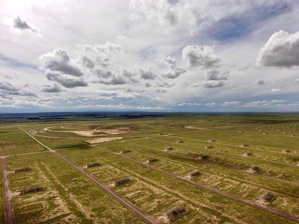
DeSalvo said the 5,100 acres just transferred to PuebloPlex is near the center of the site and houses storage units that were once used as ammunition bunkers, also known as igloos. Now most of the igloos are rented out to private individuals and commercial and public entities. They’re used to store things like vehicles, household items and even government records. Another portion of the property is used by MxV Rail for railroad testing and training.
DeSalvo expects another 1,100 acres to transfer this fall and eventually ownership of the entire 23,000-acre site as environmental clean-ups are completed, but that is likely to take decades.
There are about 7,000 acres where the chemical weapons destruction plants were located. That property is still held by the Department of Defense as the site clean-up and remediation process continues, DeSalvo said.
Ultimately, once all the environmental issues are addressed and the land is transferred to PuebloPlex, most of it will be sold to the private sector. That’s how the tax base will grow, according to DeSalvo, since PuebloPlex as a government entity doesn’t pay taxes on the property.
“That's really our goal is to work ourselves out of property or out of business over the next few decades,” DeSalvo said.


There are also plans for open space, wildlife management and public recreation, according to DeSalvo.
“It's a huge opportunity for Pueblo to utilize these assets that were once owned by the United States Army for economic development purposes,” DeSalvo said.
Operations to decommission the Army base continue.


