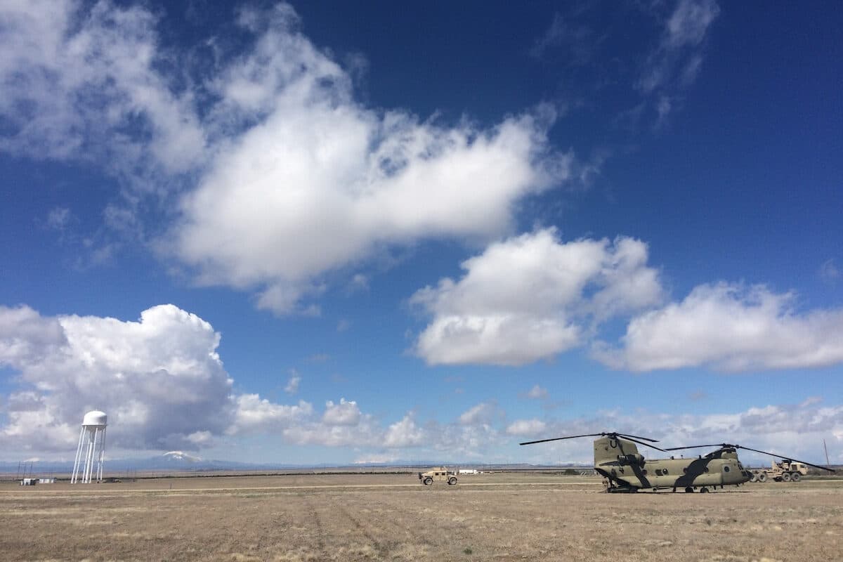
The National Weather Service Office in Boulder has issued a High Wind Warning for the Front Range through midnight. Sustained west winds from 35 to 50 mph are expected, with gusts possibly from 80 to 90 mph.
NWS Boulder meteorologist Bruno Rodriguez said the Front Range and northern foothills will be most impacted.
“It's nowhere near as consistent or as strong out over most of the urban areas and that urban corridor, but still seeing some fairly widespread gusts, 30 to 50 mph, which should continue through all the afternoon before things begin to diminish this evening,” Rodriguez said. “And then, those winds will largely be retreating over to the high country.”
Boulder, Clear Creek, Gilpin, Grand, Jefferson, Larimer, Park, Summit, and Weld Counties will largely be affected. Lower elevations are not expected to see winds at this time.
Rodriguez said high winds typically peak around this time of the year in the region. He said the event is the front end of the high wind season that normally continues into the spring.
“We typically see a lot of storm systems remain to our north when we have these high wind events. So, with those systems to the north, we miss out on most of the precipitation,” Rodriguez said. “But we get strong differences in pressure over the mountain ranges, and that's what really drives these high wind events.”


So far, the highest gusts recorded have been 80 to 95 mph in Clear Creek and Gilpin Counties and western portions of Boulder County, as well as reported gusts over 75 mph in Nederland.
The Front Range can expect another wave of winds throughout tomorrow and tomorrow night.
For skiers, expect west-to-east winds to be more prolific east of the continental divide. Wind speeds can vary over short distances. Resorts farther west near Summit County and around the Park Range area are expected to experience less impact.
| For skiers, expect west-to-east winds to be more prolific east of the continental divide. |
As of Tuesday afternoon, Wednesday’s forecast is mostly sunny with a high near 58 degrees with south winds from 5 to 8 mph becoming west in the afternoon. Winds could gust as high as 20 mph. The night will come with partly cloudy skies and a low around 42 degrees with southwest winds around 8 mph with gusts as high as 18 mph.

Colorado Capitol Alliance
This story was produced by the Capitol News Alliance, a collaboration between KUNC News, Colorado Public Radio, Rocky Mountain PBS, and The Colorado Sun, and shared with Rocky Mountain Community Radio and other news organizations across the state. Funding for the Alliance is provided in part by the Corporation for Public Broadcasting.