Banana Mountains

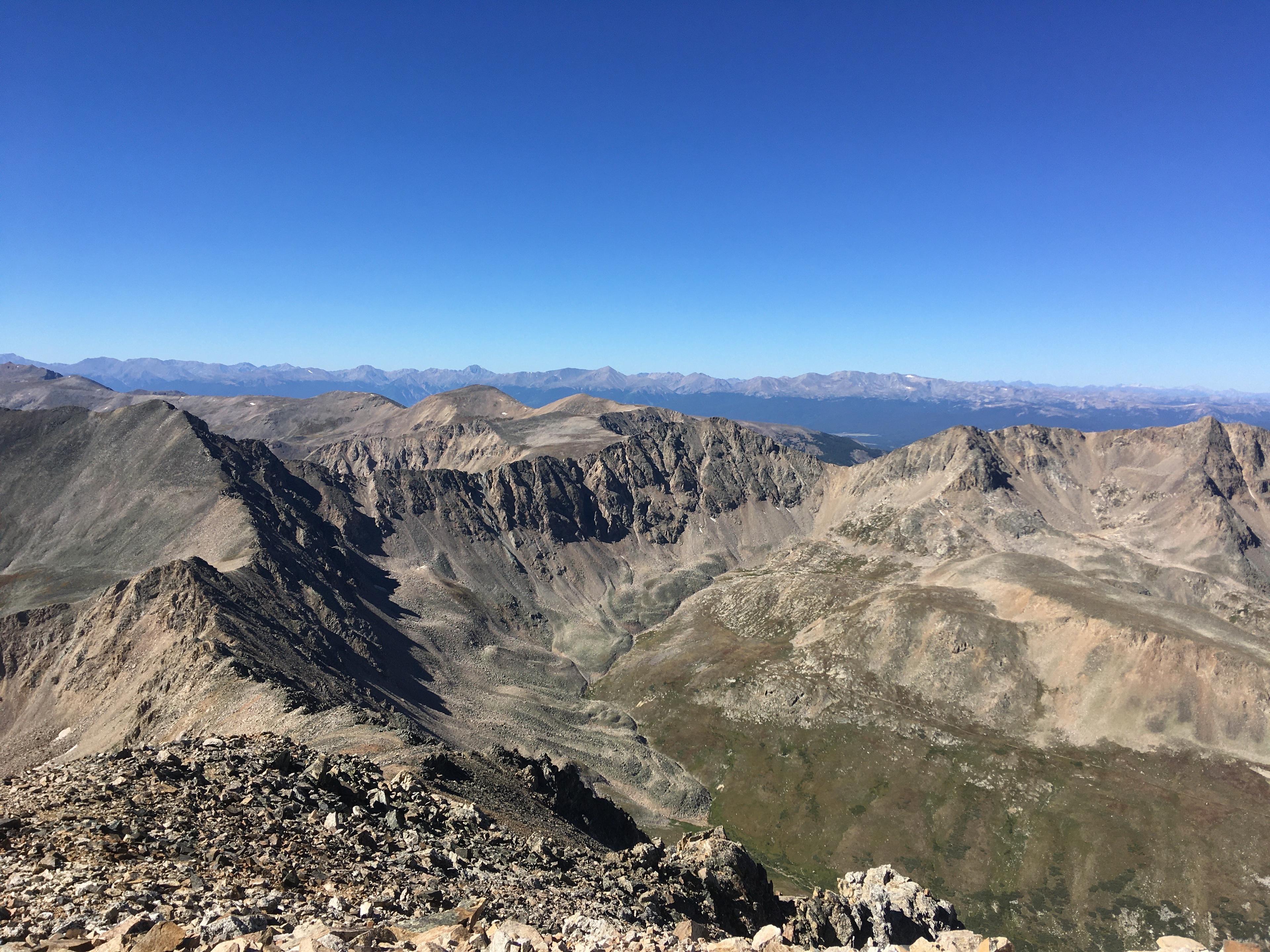
Yes, there are no bananas on Banana Mountain. If you want one while climbing this 12-thousand-foot peak along the Continental Divide Trail in Chaffee County, you'll have to pack it in yourself. Then please pack the peel back out. The same holds true in Rocky Mountain National Park, on a summit of the Mummy Range: Mount Chiquita was not named for bananas, but rather for its status as the shortest thirteener in that bunch. But roughly halfway between these peaks is a spot in Colorado where a banana or two might be welcome. Not because they grow there, but because they might go there. Just south of Larkspur, near mile marker 170 on I-25, look to the west. Rising to a modest elevation of 7700 feet above East Plum Creek, behold: the rocky profile of a butte they call Monkey Face.

About Colorado Postcards
Colorado Postcards are snapshots of our colorful state in sound. They give brief insights into our people and places, our flora and fauna, and our past and present, from every corner of Colorado. See more postcards.